
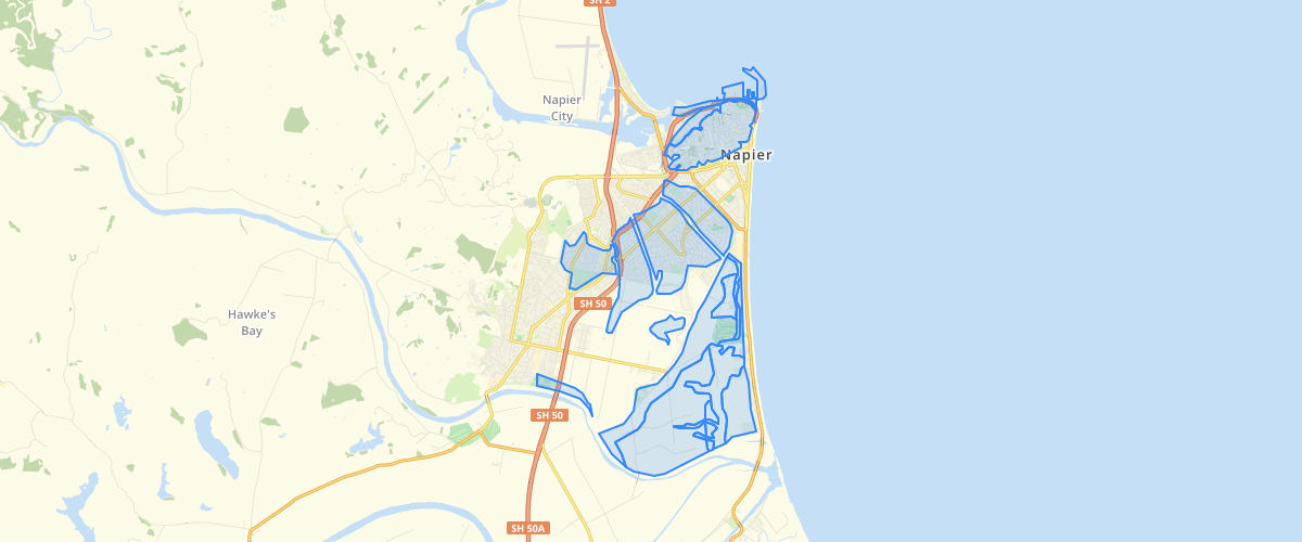
Hawkes Bay Heretaunga Plains Liquefaction Hazard Vulnerability - Hawkes Bay Regional Council
Request AccessThis vector dataset contains the combined liquefaction hazard map for the Heretaunga Plains. Mapping was based on updated liquefaction susceptibility mapping, available geotechnical data on the NZGD and probabilistic seismic hazard model information. Refer to Section 8.1 of Rosser and Dellow et al (2017) for a detailed description of the liquefaction hazard mapping methodology.This data can be used to understand the variation, spatially and temporally of liquefaction hazards in Hawke's Bay.
Metadata
| Date | 09/04/2020 |
| License | This data has been prepared by the Institute of Geological and Nuclear Sciences Limited (GNS Science) exclusively for and under contract to Hawke's Bay Regional Council. Unless otherwise agreed in writing by GNS Science, GNS Science accepts no responsibility for any use of or reliance on any contents of this data by any person other than Hawke's Bay Regional Council and shall not be liable to any person other than Hawke's Bay Regional Council, on any ground, for any loss, damage or expense arising from such use or reliance. |
Sample Properties
- {} 6 keys▶
- 2
- "High"
- "Liquefaction damage is possible - High liquefaction vulnerability"
- 123817.439453125
- 1606.9020474729987
- 1