
Canterbury - RCEP - New Zealand Defence Force Weapons Range Danger Area
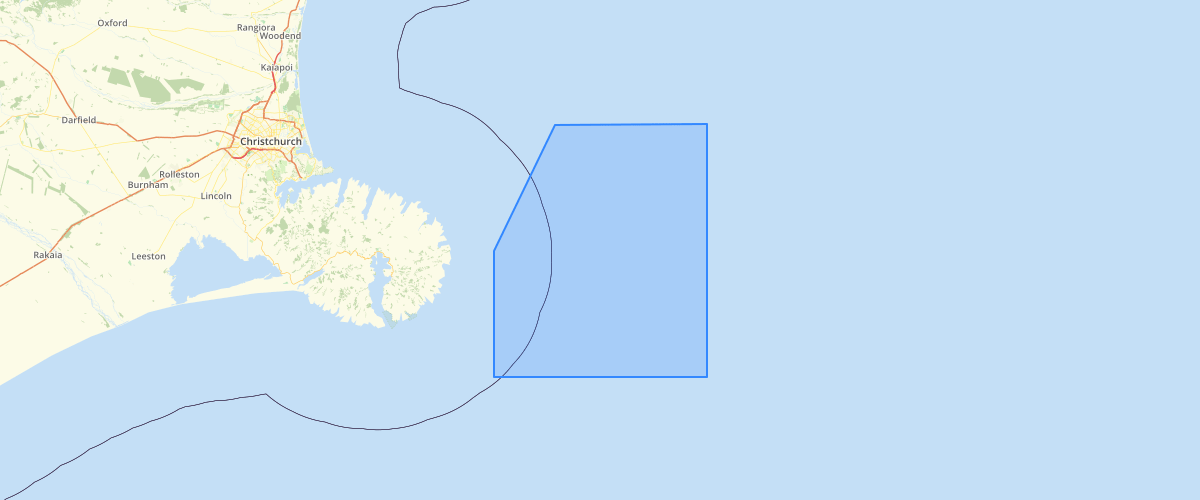
Request AccessCanterbury - RCEP - New Zealand Defence Force Weapons Range Danger Area - New Zealand Defence Force Weapons Range/Danger Area NZD 820 as shown in map 9.1 in the Canterbury Regional Coastal Environment Plan (RCEP) 2005. The New Zealand Defence Force weapons range/danger area NZD 820, is located to the north and east of Le Bons Bay, Banks Peninsula. The area is that defined below and is a rectangular shape, approximately 30 kilometres by 25 kilometres with a part of the western corner of the rectangle removed.
Metadata
| Date | 27/03/2017 |
| License | CC BY 3.0 |
Sample Properties
- {} 15 keys▶
- 1
- 0
- "Weapons Range/Danger Area"
- "New Zealand Defence Force Weapons Range/Danger Area NZD 820"
- 194926.98036955
- 2428760155.6796875
- 242876.016
- "UNKNWN"
- 0
- "GIS Admin"
- "2005-04-20T00:00:00.000Z"
- "GIS Admin"
- "2014-09-15T00:00:00.000Z"
- 2428760155.6796875
- 194926.98036955151