
Canterbury - Selwyn liquefaction susceptibility 2006
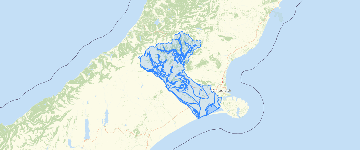
Request AccessCanterbury - Selwyn liquefaction susceptibility 2006 - This dataset delineates zones of liquefaction susceptibility. The zones have been digitised from the liquefactionpotential map (Figure 7.1) inYetton & McCahon, 2006, Selwyn District Engineering Lifelines Project:Earthquake Hazard Assessment. Environment Canterbury report U06/7.The eastern part of this dataset has been superseded by Brackley (comp), 2012, Review of liquefaction hazard information in eastern Canterbury, including Christchurch City and parts of Selwyn, Waimakariri and Hurunui districts, Environment Canterbury report R12/83.This dataset will be redrawn in 2014 using themore accurate1:250,000 QMAP geological map unit boundaries.
Metadata
| Date | 27/03/2017 |
| License | CC BY 3.0 |
Sample Properties
- {} 9 keys▶
- 6
- "1"
- "River sediments <10,000 years old (active river beds & flood plains). There is a possibility of liquefaction of small, isolated areas during strong earthquake shaking."
- ""
- ""
- "Low liquefaction potential"
- "N"
- 883469.633752654
- 698273168.6837462