
Marlborough - MEP - National Transportation Route Boundary
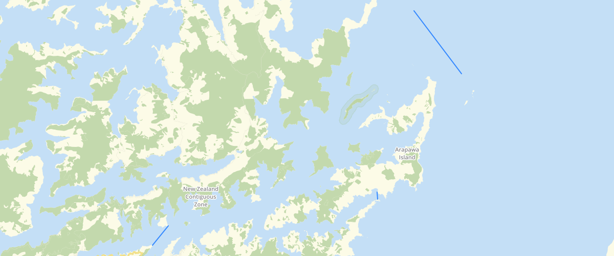
Request AccessMarlborough - MEP - National Transportation Route Boundary - This dataset is part of the proposed Marlborough Environment Plan, as amended by decisions. Depicts the boundaries of national transportation routes through Queen Charlotte Sound and Tory Channel. For more information, check the Marlborough Environment Plan website. Symbology settings for display in GIS applications: Width - 3 Colour - RGB 255, 0, 0
Metadata
| Date | 18/03/2020 |
| License | CC BY 4.0 |
Sample Properties
- {} 3 keys▶
- 1
- "East Head"
- 776.2866591964208