
Hawkes Bay Earthquake Amplification - Hawkes Bay Regional Council
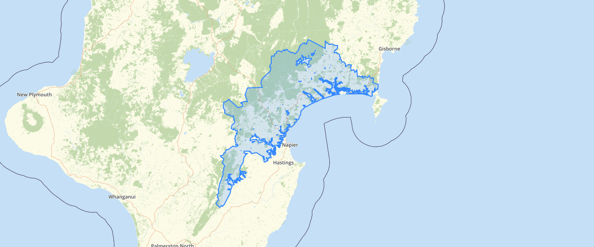
Request AccessThis dataset is a subset of data, prepared by the Institute of Geological and Nuclear Sciences for the Hawke's Bay Regional Council, designed to help the Council plan to reduce the adverse impacts of future earthquakes. This data set refers to polygons in Hawke's Bay within each of which the ground has been assigned a uniform class of response to seismic waves. The number of the assigned class is specified for each polygon. The significance of the classes in terms of seismic attenuations, peak ground acccelerations and amplification factors is discussed in 'Hawke's Bay Regional Council Earthquake Hazard Analysis Program: Stage III - Evaluation of ground shaking amplification potential, Volume 1, by Hengesh, J.V., Dellow, G.D., Heron, D.W., McVerry, G.H., Stephenson, W.R., Institute of Geological and Nuclear Sciences, Client Report 40652B, June 1998.
Metadata
| Date | January 29, 2020 |
| License | No License Provided |
Sample Properties
- {} 8 keys▶
- 1
- 7741200894.449219
- 2031955.0842605901
- "Bedrock / Regolith"
- "Low"
- 2031955.0842605801
- 7741200894.477924
- 1