
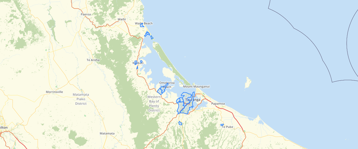
BoP RPS Urban Limits
Request AccessThis is the finalised set of Urban limit boundaries which were formally adopted on the 26th October 2006 and publicly notified on 7th November 2006. The physical boundaries were shifted as part of the ammendment process but the GIS data also needed minor adjustments so that the polygon boundaries were coincident with the relevant coporate datasets (ie Property boundaries, District council planning zones, coastline etc)
Metadata
| Provider | Bay of Plenty Regional Council Toi Moana |
Sample Properties
- {} 9 keys▶
- 1
- ""
- ""
- 1
- "Pre 2021"
- 13429.870181457984
- 586.9019858834977
- 13429.87018146
- 586.90198588