
Wellington Regional Council Tide height points
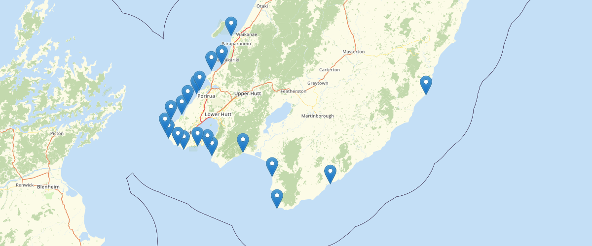
Request AccessWellington Regional Council - Tide height points, Mean High Water Springs-10 (MHWS10) line for the Greater Wellington Region, NZ. MHWS10 is the mean high water spring tide exceeded 10 percent of the time. It is often used as a practical high tide level for infrastructure design works, and also for estimating extreme high (e.g. the 100-year Average Recurrence Interval) storm tides.Line extracted from a LIDAR DEM dated 2013 at 1m cell-size. LIDAR specification was for a ground model of +/-0.1 to 0.15m in z (1 sigma) with a resolution of 1.3 points per square metre. The line corresponds to an elevation contour defined from known tidal heights as offsets above the Wellington 1953 vertical datum. The elevation value in metres is provided with each line segment. The elevation value is derived from values in Appendices A and B in this report : http://www.pce.parliament.nz/media/1384/national-and-regional-risk-exposure-in-low-lying-coastal-areas-niwa-2015.pdf Also points showing tidal elevations relative to Wgtn VD 1953.
Sample Properties
- {} 4 keys▶
- 0.82
- 0.24
- 1.06
- 1