
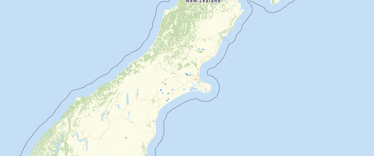
Canterbury - Effluent Dairy Discharge Areas - Consented Activities
Request AccessCanterbury - Effluent Dairy Discharge Areas - Consented Activities - Records showing a summary of a consented activity related to the storage and discharge of dairy effluent to water or land as recorded within Environment Canterbury's Resource Management Act Database. This layer contains discharge features that are represented as areas less than 10,000ha in size. Note: Prior to 2013 all activities were recorded as point features. Subsequent to this activities may have been captured as line or area features. This layer should be used in conjunction with the Consented Activities - Effluent Dairy Discharge Points and Consented Activities - Effluent Dairy Discharge Global layers to get a full representation of all consented activity features. Depending on the nature and conditions of the consent, more than location point may be associated with a single consent. The feature type property indicates the nature of the recorded activity. The layer includes details on: The type of permit (land use consent, discharge permit, etc.), the section of the RMA under which the activity was permitted, the current status of the permit (active, expired, replaced, etc.), the name of the applicant, a description of the location where the activity related to the permit is undertaken, and if the permit was successfully issued, the period over which the permitted activities apply. Activity specific details related to dairying practices are also included if relevant. The layer also contains several summary fields related to spatially defined regions the location lies with including: which territorial local authority(s); the Land and Water Regional Plan groundwater & surface water allocation zones and nutrient management zone; the Canterbury Water Management Strategy (CWMS) zone; the Ngai Tahu Runanga area of interest for Resource Consenting purposes; and the clean air zone.
Metadata
| Date | 08/10/2020 |
| License | http://canterburymaps.govt.nz/Portal/Home/TermsAndConditions |
Sample Properties
- {} 64 keys▶
- "CRC135543"
- "Discharge Permit (s15)"
- "Change in Conditions"
- "Issued - Active"
- "RMA Authorisation"
- "Dairy Effluent"
- "s15(1)(b) Discharge to Land"
- "Discharge Contaminant into Land to Water"
- "CRC135543"
- "Mr & Mrs P R & R F Mossman"
- "EC113576"
- "St Leonards Road, CULVERDEN"
- "2013-07-11T00:00:00.000Z"
- "Commencement Date"
- "2045-05-07T00:00:00.000Z"
- "Expiry Date"
- "2015-06-30T00:00:00.000Z"
- "2011-03-28T00:00:00.000Z"
- "2045-05-07T00:00:00.000Z"
- "Dairy Effluent"
- "F37902 and 37901"
- "0-99"
- "1650"
- "1150"
- "No"
- "Factory Supply"
- "Twice per Day"
- "On farm"
- ""
- "Yes"
- "Injection - pivot"
- "Two stage pond"
- "Lined"
- "6000"
- "Yes"
- "No"
- "Yes"
- "No"
- "No"
- ""
- "NA"
- "Yes"
- "N/A"
- "Yes"
- "Yes"
- "Hurunui District"
- "13CAP-00000-002ML"
- "http://ecan.govt.nz/data/consent-search/consentdetails/CRC135543"
- 136258
- 7792
46 ... 59▶▶