
Hawkes Bay Flood Risk Areas - Hawkes Bay Regional Council
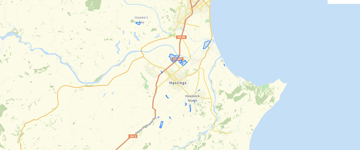
Request AccessMuch of the settled Hawke’s Bay region is low lying and built on river flood plains. This brings the risk of flooding, which is our most common natural hazard - a severe storm or flood happens every 10 years on average. Major storms affect wide areas and can be accompanied by strong winds, heavy rain or snowfall, thunder, lightning, and rough seas. They can cause damage to property and infrastructure, affect crops and livestock, disrupt essential services and cause coastal inundation.Rivers normally flood every winter when a storm brings more rainwater than can soak into the soil. When floods threaten communities the flood become a hazard. In Hawke's Bay stop banks have been built alongside many of the rivers to hold in the extra flood water. However in a severe storm, rivers could breach stop banks and the flood waters may go through farms, homes, shops, schools and damage roads and other infrastructure.There have been significant flood protection systems completed on the Heretaunga Plains and the Ruataniwha Plains. Flood protection works in Hawke’s Bay are generally designed to contain a 1% annual exceedance probability (AEP) flood). These works have significantly reduced the effect of small to medium sized floods, but a large flood could overwhelm the works and have a devastating effect. Such a flood, which exceeds the design capacity of the flood protection system, is called a Super Design Flood. Flooding from localised downpours in urban areas can also overwhelm drainage systems, so events below the AEP can still be costly.With climate change, rainfall patterns in the Hawke’s Bay are expected to change over the next century; winters are predicted to become drier, but overall flood risk is expected to increase as single events may be more intense.
Metadata
| Date | January 29, 2020 |
| License | No License Provided |
Sample Properties
- {} 15 keys▶
- ""
- 0.2
- "Karamu"
- "Flood risk areas"
- "Y"
- 15.30000019
- 50
- "2015-07-20T11:44:50.000Z"
- ""
- ""
- "DARREL"
- "2017-11-12T18:58:14.000Z"
- 182858.0966796875
- 1949.24517444776
- 29