
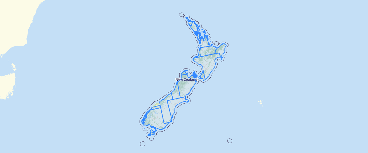
DMC 2010 footprints
Request AccessMetadata relates to the mosaicked imagery. This layer has been provided to enable users to explore coverage and capture dates of the imagery. To enquire about ordering the imagery, please e-mail lucas[at]mfe.govt.nz. This imagery is 22m, three-band multispectral, cloud-minimised mosaics of Deimos-1 and UK-DMC-2 satellite scenes over mainland New Zealand captured late-2009/early-2010. The imagery is only available to NZ Crown agencies.
Metadata
| Date | 20 Jul 2017 |
Sample Properties
- {} 40 keys▶
- "DMC_NZ_NorthIsland"
- 741476.197379
- "2012-11-07"
- "DE001a19_000000_015499_p_L1T"
- "© 2010 DMCii, data acquired by the Deimos-1 satellite, part of the DMC Consortium and licensed by DMC International Imaging Limited of the United Kingdom"
- "Crown-only"
- "indefinite"
- "DMC International Limited"
- ""
- "Poyry Deforestation Mapping 2008 - 2009"
- "DMC International Limited"
- 38.1623420715
- 13.769818306
- 13.7201690674
- -101.519348145
- 0
- 0
- 0
- 1
- 1
- 1
- 0
- 0
- 0
- 0
- 3
- null
- "metres"
- 22
- "metres"
- 22
- "2009 - 2010"
- "2010-04-23"
- "NZGD2000 - New Zealand Geodetic Datum 2000"
- "NZTM - New Zealand Transverse Mercator"
- "DMC"
- "rectified"
- "satellite mosaic"
- "imagery"
- "DMC_NZ_NorthIsland"