
Marlborough - Foreshore Structures Points
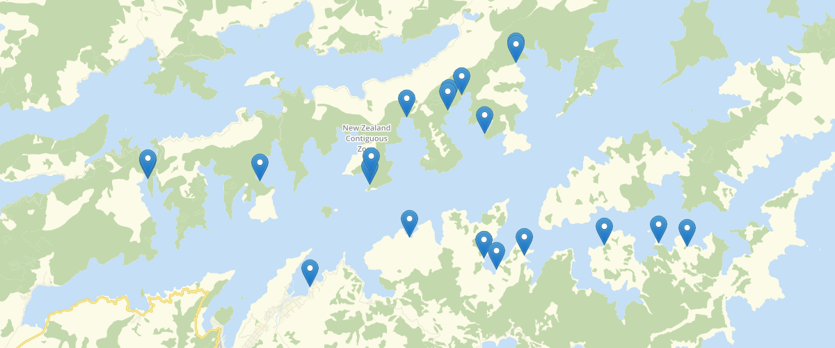
Request AccessMarlborough - Foreshore Structures Points - Spatial location of district compliance foreshore features. This point layer is one part of 3 layers making up the foreshores data set. Information is gathered from the consent application and foreshore compliance work flow. Data Update: Weekly.
Metadata
| Date | 28/10/2020 |
| License | CC BY 4.0 |
Sample Properties
- {} 14 keys▶
- 1007
- 5139
- "Boatshed"
- "Current"
- "Onahau Bay"
- "Grove Arm"
- ""
- "Licenced by DOC"
- "Ernest Victor Bradshaw"
- "SFR725"
- null
- null
- ""
- ""