
Auckland Council Subdivision - Auckland Council
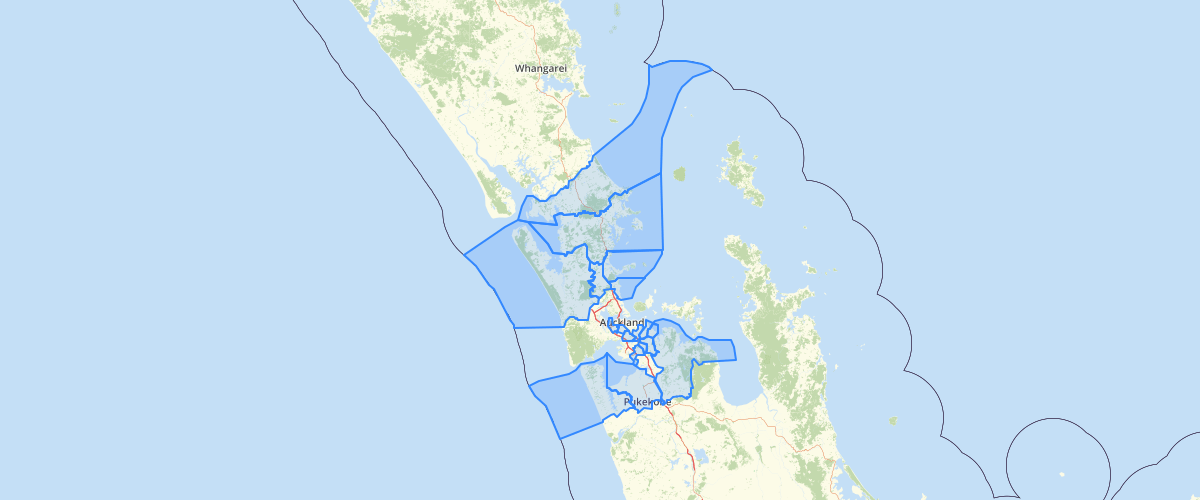
Request AccessFull Abstract/Purpose:Abstract: Subdivision extents are determined by the Local Government Commission, Department of Internal Affairs, for administrative purposes of the Auckland Council. Made operative from 1/11/2010. The Subdivision extents align with Statistics New Zealand's Census 2010 Meshblock extents. One or more Subdivisions are combined to for Council's Wards.Purpose: For general purposes, demarkating the extent of Auckland Council SubdivisionsLineage/History: Created for the Auckland Transition Authority prior to the 2010 Auckland Council amalgamation.Update Cycle: AnnualCreation Date: {2010}Publication Date: {2010}Metadata Date: 23/Jan/15Metadata Constraints: This metadata was collated retrospectively, from Geospatial Team and council business unit subject matter experts, completeness and accuracy are not certain Metadata Coordinate System: WGS 1984
Metadata
| Date | 11/02/2015 |
| License | Constraints General: Open Data - Creative CommonsConstraints Legal: noneConstraints Security: none |
Sample Properties
- {} 4 keys▶
- 1
- "Hibiscus Coast"
- 80594.8271318177
- 339490632.039161