
Canterbury - RCEP - Coastal Marine Area Landward Boundary
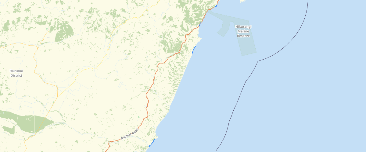
Request AccessCanterbury - RCEP - Coastal Marine Area Landward Boundary - Coastal Marine Area Landward boundary within the Canterbury Region as shown in the Canterbury Regional Coastal Environment Plan 2005. The Coastal Marine Area Boundary (CMA) along the line of Mean High Water Springs (MHWS) is indicative only.
Metadata
| Date | 06/08/2020 |
| License | CC BY 3.0 |
Sample Properties
- {} 12 keys▶
- 635
- "CMA"
- "Coastal Marine Boundary (indicative)"
- "The Coastal Marine Area Boundary (CMA) along the line of Mean High Water Springs (MHWS) is indicative only."
- 43.90522398
- "MANCAP"
- 6
- "Environment Canterbury"
- "2017-02-21T00:00:00.000Z"
- "Environment Canterbury"
- "2017-02-21T00:00:00.000Z"
- 43.905223982053876