
Canterbury - Land Use Recovery Plan - Original Native Reserves
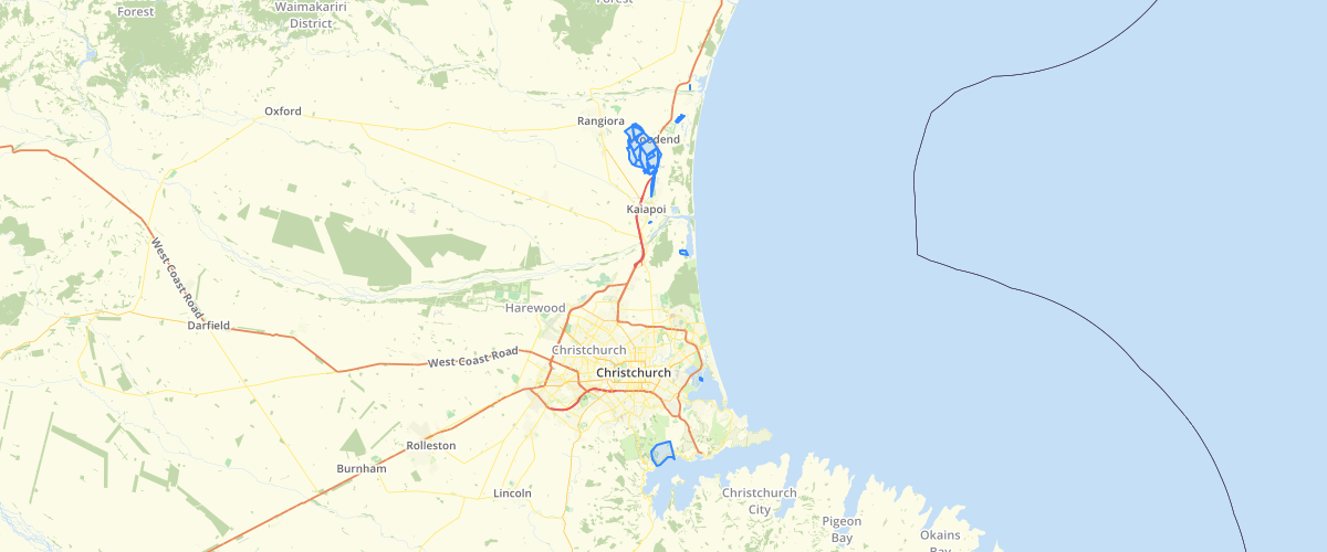
Request AccessCanterbury - Land Use Recovery Plan - Original Native Reserves - This datset is the digital representation of the original Native Reserves set aside during the land purchases of the mid 1800's. The areas have been captured from a series of folders collected by Trevor Howse. This dataset is shown in the Land Use Recovery Plan.
Metadata
| Date | 27/03/2017 |
| License | CC BY 3.0 |
Sample Properties
- {} 7 keys▶
- 1
- "Kaiapoi (Maori Reserve 873)"
- 74523.75599392
- 10916649.4067673
- 1091.66494068
- 74523.7559939172
- 10916649.40676731