
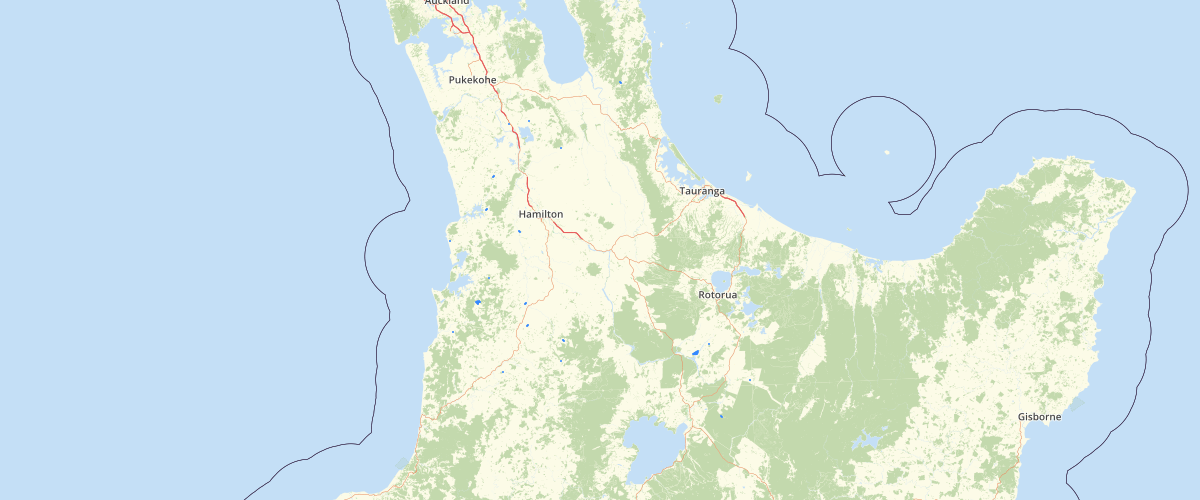
Waikato Biodiversity Vegetation 2012 - Waikato Regional Council
Request AccessTerrestrial vegetation, sand dunes and wetlands mapped off WRAPS 2012 imagery using a simplified version of the Land Cover DataBase (LCDB) classifications for the Waikato Region. See metadata for feature BIODIVERSITY_VEGETATION_2012 in Biodiversity Vegetation (BIOVEG) 2012 - GIS Layer
Metadata
| Date | 3/9/2020 |
| License | CC BY 4.0 |
Sample Properties
- {} 15 keys▶
- "Gorse and Broom"
- "Predominantly Exotic"
- ""
- "Manuka and or Kanuka"
- "Broadleaved Indigenous Hardwoods"
- "Indigenous Forest"
- ""
- ""
- ""
- "No values - See metadata"
- "No values - See metadata"
- 9.3695
- 55773
- 1
- "Shrubland"