
Wellington Regional Council Wellington Region Liquefaction Potential
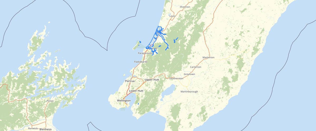
Request AccessWellington Regional Council - Wellington Region Liquefaction Potential, The occurrence of earthquakes in the Wellington Region is inevitable due to its location at the boundary of two crustal plates. Earthquakes have the potential to cause significant adverse effects within the Region, including loss of life, injury, and social and economic disruption. This data shows the levels of liquefaction risk for the region based on pre-existing datasets. Liquefaction risk is related to the type of soils present. This data shows the locations of soils that have a siginificnt risk of liquefaction occuring and the level of that risk for the entire region. This data is based on exisitng geological maps published by GNS and similar investigations. This limits the usale scales of the data to between 1:50,000 and 1:250,000. Use at larger scales requires more detailed investigations first. This data is best used in conjunction with the report from GNS refered to below. It is available to download from the GNS website. Dellow, G.D.; Perrin, N.D.; Ries, W.F. 2018 Liquefaction hazard in the Wellington region. Lower Hutt, N.Z.: GNS Science. GNS Science report 2014/16. 71 p.; doi:10.21420/G28S8J
Sample Properties
- {} 4 keys▶
- 1
- "QMap"
- "Holocene alluvium"
- "Moderate"