
Wellington Regional Council Managed Open Space
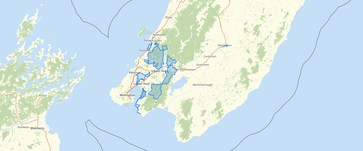
Request AccessWellington Regional Council - Managed Open Space, This data set has been created for the Wellington Regional Strategy - Open Space Planning Working Group. The data captured in this data set is derived from the Open Space Planning Matrix 2009. This matrix is used to assess all areas of open space for all councils in the Wellington Region (TLA, DOC and Queen Elizabeth Trust) to determine the predominant function and scale of the open space. The attribute table is a representation of the matrix. Each field denotes a field in the matrix and is populated with information about the open space. For predominant functions values of either P (primary), S (secondary) or N/A (not applicable) are sued and for scale either regional, city or local values are used. Each Council has supplied shapefiles of the areas of open space which they manage, these have been the base for this dataset along with the textural information from the matrix (excel). The purpose of this data set is to develop a collaborate data set for open spaces throughout the Wellington Region. By coordinating data from all councils, DOC and The Queen Elizabeth trust about open space and the functions, uses and purposes of these spaces a better representation of the regional open space network can be achieved. This allows for regional wide analysis and planning for open spaces and open space resources.
Sample Properties
- {} 7 keys▶
- 1
- "Informal Recreation/Leisure"
- "Enviro/Heritage"
- "Regional"
- "Greater Wellington"
- 651.15155072
- "Queen Elizabeth Park"