
Canterbury - Discharge to Water Global Active - Consented Activities
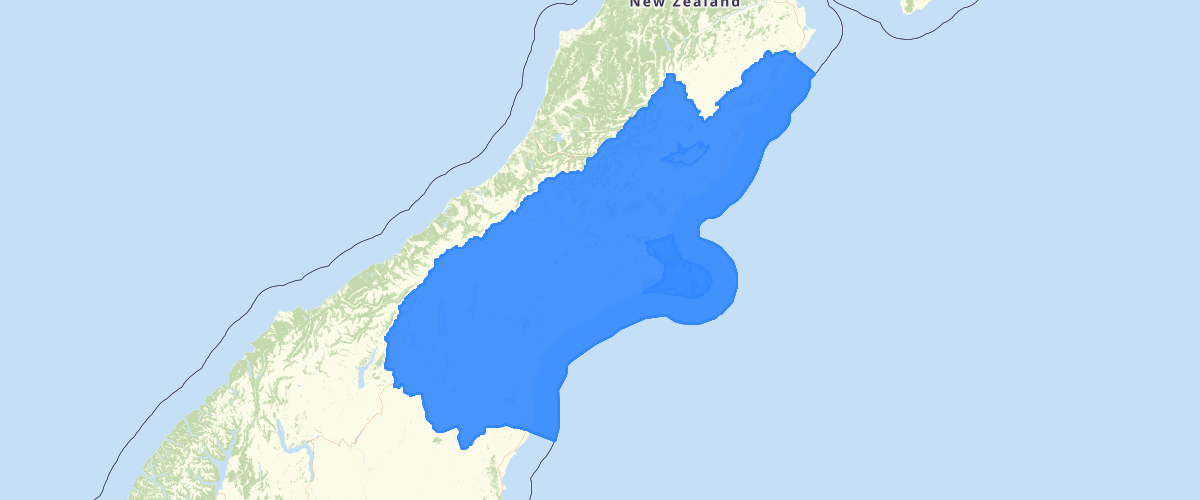
Request AccessCanterbury - Discharge to Water Global Active - Consented Activities - Records showing a summary of a current consented activity related to the discharge or contaminants to water as recorded within Environment Canterbury's Resource Management Act Database. This layer contains discharge to water features that are represented as areas greater than 10,000ha in size or for activities that can be undertaken region wide in Canterbury for actvities such as the discharge of contaminated water or stormwater to water, etc. Note: Prior to 2013 all actvivties were recorded as point features. Subsequent to this activities may have been captured as line or area features. This layer should be used in conjuction with the Consented Activities - Discharge to Water Points and Consented Activities - Discharge to Water Area layers to get a full representation of all consented activity features. Depending on the nature and conditions of the consent, more than location point may be associated with a single consent. The feature type property indicates the nature of the recorded activity. The layer includes details on: The type of permit (land use consent, discharge permit, etc.), the section of the RMA underwhich the activity was permitted, the current status of the permit (active, in process, etc.), the name of the applicant, a description of the location where the activity related to the permit is undertaken, and if the permit was successfully issued, the period over which the permiitted activities apply. Activity specific details related to contaminant type, volumes and application rates are also included if relavent to the type of discharge. The layer also contains several sumary fields related to spatially defined regions the location lies with including: which territorial local authority(s); the Land and Water Regional Plan groundwater & surface water allocation zones and nutrient management zone; the Canterbury Water Management Strategy (CWMS) zone; the Ngai Tahu Runanga area of interest for Resource Consenting purposes; and the clean air zone.
Metadata
| Date | 19/08/2020 |
| License | CC BY 3.0 |
Sample Properties
- {} 64 keys▶
- "CRC169653"
- "Discharge Permit (s15)"
- "New Consent"
- "Issued - Active"
- "RMA Authorisation"
- "De-watering Water"
- "s15(1)(a) Discharge to Water"
- "Discharge Water into Water"
- "CRC169653"
- "Amuri Irrigation Company Limited"
- "EC115655"
- "Amuri Plains, Culverden"
- "2016-07-22T00:00:00.000Z"
- "Commencement Date"
- "2021-07-22T00:00:00.000Z"
- "Expiry Date"
- "2021-07-22T00:00:00.000Z"
- "2016-12-12T00:00:00.000Z"
- "2021-07-22T00:00:00.000Z"
- "De-Watering Water"
- "NA"
- "Migration: Not Classified"
- "Migration: Not Classified"
- ""
- ""
- ""
- null
- ""
- 0
- "Migration: Not Classified"
- null
- null
- ""
- ""
- ""
- ""
- "Migration: Not Classified"
- ""
- ""
- ""
- ""
- ""
- ""
- ""
- "Migration: Not Classified"
- "Hurunui District"
- "16CAP-00000-005IM"
- "http://ecan.govt.nz/data/consent-search/consentdetails/CRC169653"
- 169303
- 13557
46 ... 59▶▶