
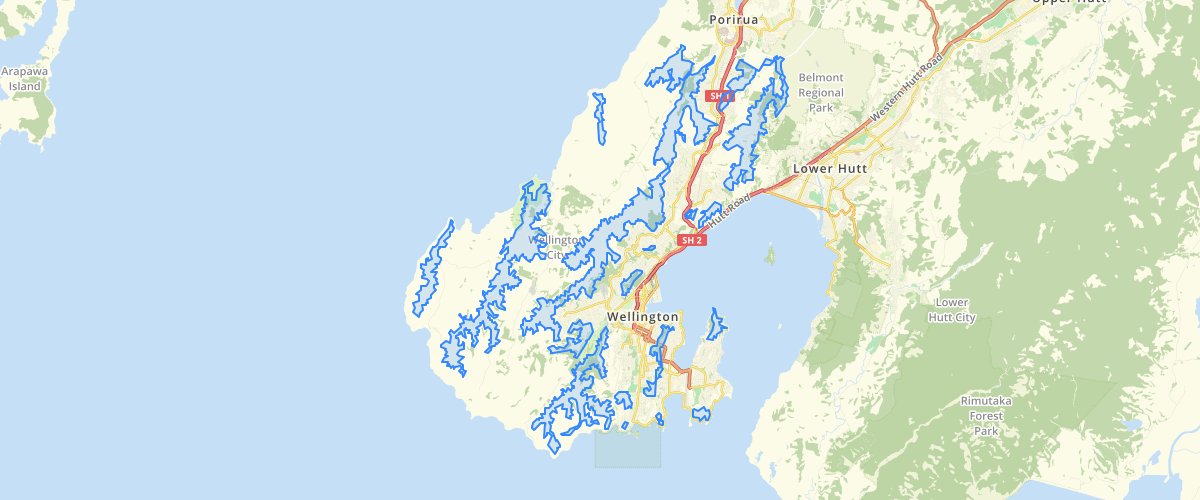
Wellington Ridgelines Hilltops Overlay
Request AccessWellington - Ridgelines Hilltops Overlay, District Plan layers as used in the WCC Webmap. To see how this relates to individual buildings please refer to the WCC ePlan tool
Sample Properties
- {} 34 keys▶
- 1
- ""
- "44F2"
- "MAPPING LINE 2009"
- 0
- 0
- 1
- 0
- "44F1"
- 2
- 2
- 3
- 0
- "CONTINUOUS"
- "CONTINUOUS"
- "CONTINUOUS"
- ""
- 0
- 0
- 40
- 40
- 40
- -1
- ""
- 1
- 0
- 0
- 1
- "U:\2007\W07158_BE_WCC_Ridges_And_Hilltops_Mediation\Issued\090318_WCC\ridges_hilltops_2009.dxf"
- "DXF"
- "AC1021"
- 55500.00579104565
- 7287561.558057207
- "ridges_hilltops_2009.dxf"